Mapping movies onto the world

When we were first getting started with geography at the beginning of first grade, I wanted to help Wanda start to construct her mental map of the world. To kick-start that process, we used the stories she was familiar with, and talked about which part of the world each one took place in.
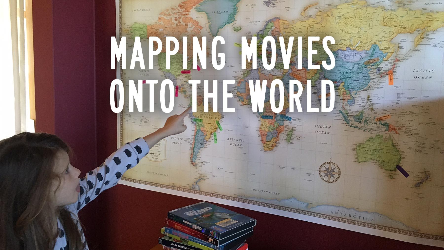
I rounded up a couple dozen of our DVDs. I chose DVDs rather than books, because I felt the visual aspect would be especially powerful for developing a mental concept of the variety in the world.

I bought little post-it arrow flags, with enough colors to color-code each continent. Wanda had learned the continents with the help of this 7 Continents song:
One by one, we marked on our map where each story took place. We talked about which elements of each story were big clues to its location, such as the animals in the story, the biomes we could see in the setting, or cultural elements. Sometimes, we looked up those clues to figure out where it took place, giving Wanda an early taste of how to do research.
When we were done, we noticed together which parts of the world had a lot of coverage, and which ones we hadn't seen as much. We talked about why that is (Euro-centrism!), and how we want to put some effort into learning a better variety of the world's stories—and that there's good reason to be wary of stories being told by people who aren't actually from that place.
Looking back on this activity, I think it worked as hoped.