Seterra geography quiz

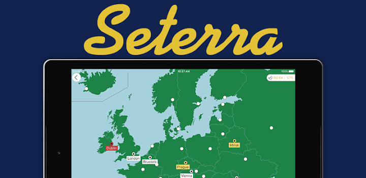
I recently started using Seterra to beef up my geography knowledge. I use the free iOS app, and there are also Android and web versions. Seterra gives you the name of a country (or city, or mountain, etc.), and challenges you to find its location on an unlabeled map.
I originally downloaded it for Wanda to use, but honestly it's a bit dry for her. We do use it in her learning, only in small doses.
For me, however, it's been fantastic. It was daunting at first, and humbling. My scores in some corners of the world were astonishingly low. For the entire continent of Africa, at first I think I was able to confidently label maaaaybe 10 of the 55 countries. That's embarrassing for me to admit.
(I have a half-written blog post about how challenging it has been to learn about the countries, cultures, and history of Africa—it feels like searches for educational resources will turn up about 48% Ancient Egypt, 48% African animals, and 4% anything else. Too often information is presented as generically "African" rather than specifying a particular country or culture. This is the damage of Eurocentrism.)
Thanks to the Seterra app, I now have a far more functional mental map of the world. Being able to picture exactly where news stories are happening has deepened my comprehension. Understanding which countries neighbor others has given me a better picture of the way cultures blend across borders. And when it comes to Africa, I can already tell that knowing the map well is making it much easier to learn about the distinct regions, countries, cultures, and history.
I'm now able to pinpoint over 200 countries and territories, plus cities, rivers, mountains, and more. If nothing else, learning the countries of the world feels like I've finally gotten around to checking off a very stale to-do list item.